
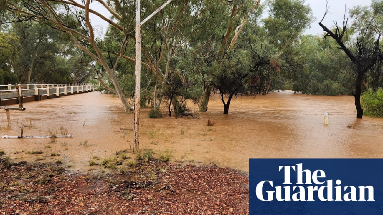
Heavy rainfall has closed nearly 200 roads and cut off multiple towns in Queensland as already saturated rivers risk more flooding.
The Bureau of Meteorology issued a severe weather warning for heavy rainfall across normally dry inland areas of central west Queensland, including parts of the Northern Goldfields and Upper Flinders, North West, Channel Country, and Maranoa and Warrego districts.
At noon Wednesday, nearly 200 road closures due to flooding had left inland towns, including Quilpie, Windorah, Jundah, Boulia, Bedourie, Eromanga, Adavale and Birdsville, completely cut off by flood waters.
Senior meteorologist Christie Johnson said a slow-moving trough was dragging tropical moisture inland, dumping widespread heavy rain on to an already saturated landscape. It had already been raining for days, she said, with plenty more to come.
“We’re seeing a lot of water that’s going to be very slow moving through inland parts,” she said.
In the 24 hours to 9am, Bogewong in central west Queensland recorded 230mm of rain, while 203mm fell at Stonehenge, she said.
Outback town Winton, Australia’s dinosaur capital, set a new daily rainfall record of 158mm, the most recorded in 24 hours since the weather station was established in 2002, Johnson said.
On the Queensland coast, falls were heaviest near Townsville, with rural town Rollingstone receiving 145mm.
Another 70 to 120mm of rainfall was possible across parts of central and south-west Queensland on Wednesday, bringing a risk of flooding to saturated catchments.
As of 11:30am, major flood warnings were in place for the Bohle, Haughton, Bulloo, Thomson, Barcoo, and Georgina rivers, as well as Cooper Creek.
Flood warnings could be upgraded depending on conditions, Johnson said, and may continue into the weekend.
By Friday and Saturday, the bureau expected the rain to shift southward into south-east Queensland and northern New South Wales, including Brisbane and Sydney, although the rainfall there would be shorter-lived.
“It’s going to be a particularly wet Saturday,” she said, with conditions expected to ease on Sunday.
In stark contrast, Adelaide continued its extended dry period. Rainfall in the city totalled 13.2mm for the entire year so far, which Johnson said was “significantly below average”.
Adelaide’s reservoirs were sitting at 39%, their lowest level in more than 20 years. The bureau predicted dry and sunny conditions for the coming week.
In Perth, temperatures remained well above average and were expected to stay in the high 30s on Wednesday and Thursday. Temperatures about six to ten degrees warmer than average near Perth were forecast to linger until Saturday.
Australia’s land surface has warmed by 1.5C since 1910, according to the bureau, and the climate crisis has increased the frequency and severity of extreme weather events.
Source link
Add a Comment