
Two months after the most destructive wildfires in Los Angeles history, Cal Fire has released updated Fire Hazard Severity Zone maps for the county. The surveys use various criteria to identify wildfire hazard areas and rank them on a three-tiered scale.
The maps, generally updated every decade, can impact building and clearance requirements in areas deemed to be in particular hazard areas.
According to Cal Fire, the determination of “hazard” is based “on the physical conditions that create a likelihood and expected fire behavior over a 30- to 50-year period, without considering mitigation measures such as home hardening, recent wildfire or fuel reduction efforts.”
Identified hazard zones are divided into three levels — moderate, high and very high. The determination is made based on a variety of factors, including terrain, fire history, weather patterns and the presence of fire fuels such as thick vegetation.
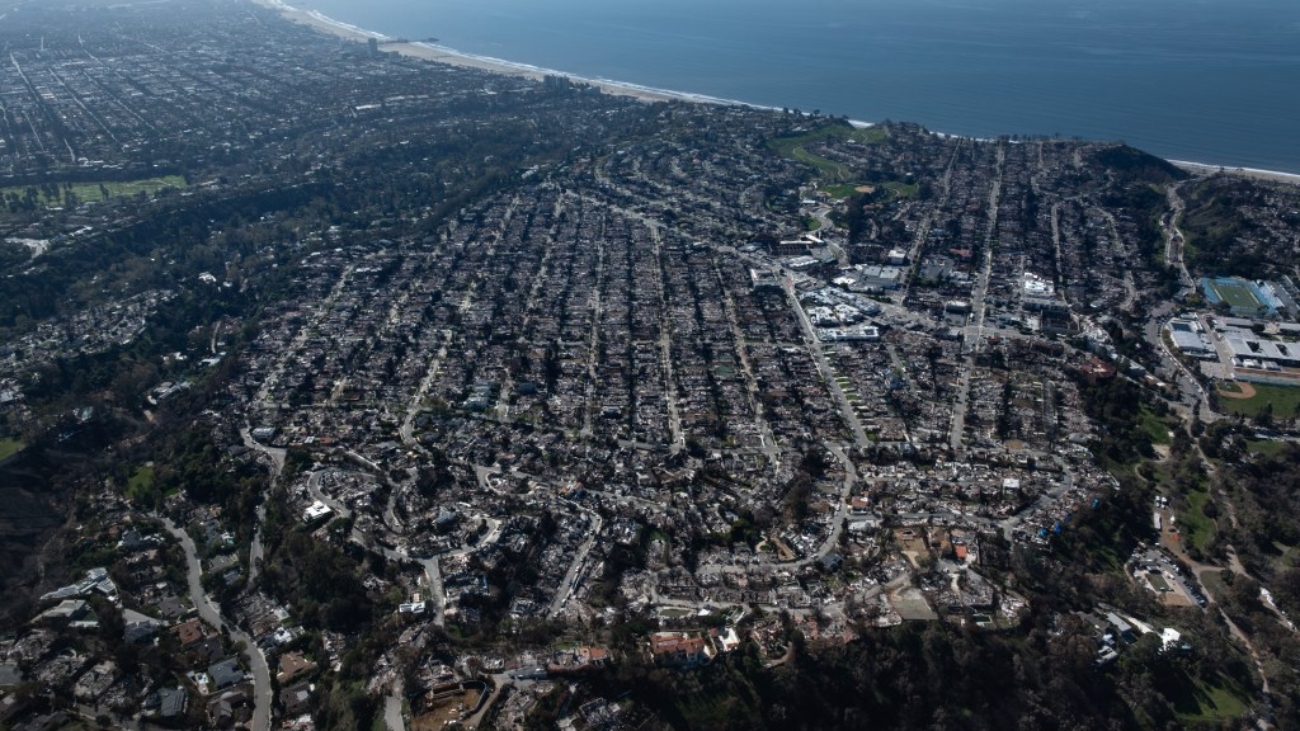
Despite the deadly Palisades Fire, the West L.A. zones of Very High Hazard in red on the new map below — and specifically in the Palisades and Malibu — are largely unchanged.
2025 Fire Hazard Severity Zones

Some areas around the Eaton Fire, however, have been moved out of the Very High Hazard Zone, while others have been moved into it. See below for the Fire Hazard Severity Zones from 2007-2011, with the hash marks indicating zones of Very High Hazards.
2007-2011 Fire Hazard Severity Zones
Once the hazard zone maps are released by the state, local jurisdictions can adopt them or amend them by increasing the hazard level for particular areas. Local jurisdictions can not reduce the hazard levels from those recommended by the state.
According to the Los Angeles County Fire Department, the agency is not recommending any additions or increases in the Cal Fire hazard zone map. The agency noted that the updated maps likely mean an increase in the number of local parcels falling within hazard zones.
“These changes may influence building and vegetation management requirements for properties located within newly classified fire hazard zones,” according to LACFD.
For an interactive map that can be manipulated to highlight specific addresses and their zones, click here.
The Los Angeles County Board of Supervisors must act within 120 days to adopt the maps, which are used to guide land-use decisions and building standards. The county is expected to schedule public hearings for people to comment on the proposed maps, but specific dates have not yet been determined.
City News Service contributed to this report.
Source link
Add a Comment